| The classical green flash is at the horizon as the very last sliver of sun disappears. It is the result of the sun’s rays being refracted across a layer of air warmed by the sea and is an inferior mirage. Mirage conditions of some sort – strong temperature gradients between air layers – are essential for a flash to be seen.
Another type of green flash is the mock-mirage flash. These are small, multiple and transient flashes on the sun's upper limb when the disk is still partially above the horizon. They are produced by refraction across temperature inversion layers, kinks in the normal atmospheric vertical temperature gradient where there is a layer of warmer air.
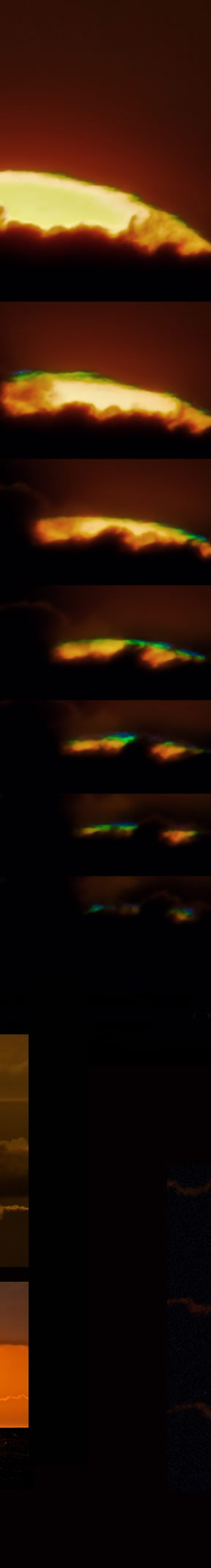
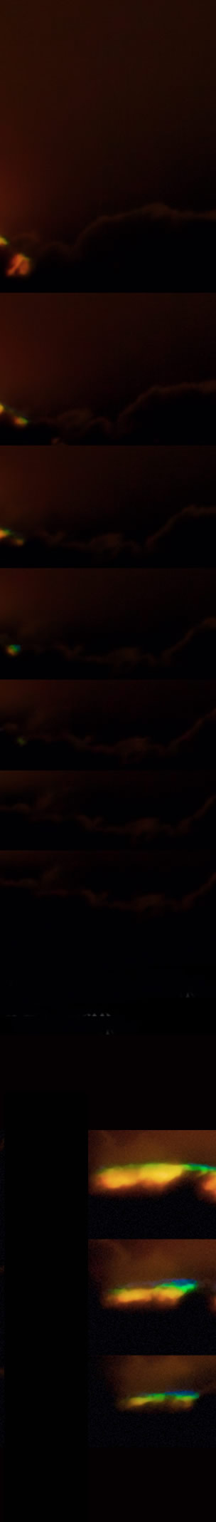
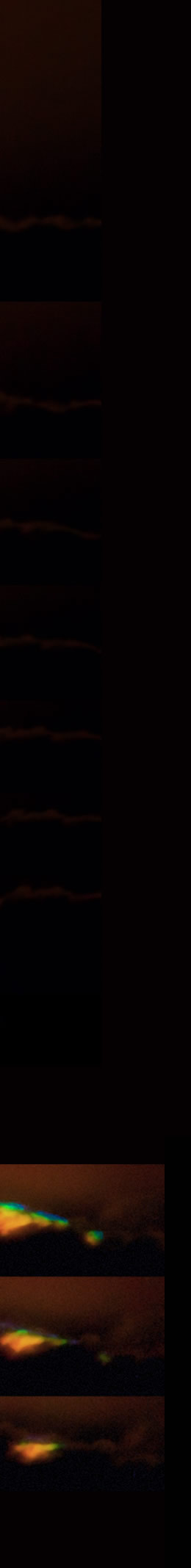
Cloud-top flashes are likely a form of mock-mirage flash but they are rather rarer and are not properly understood. They seem to occur as rays from the sun’s upper limb just graze the top of a cloud bank. Jesper Grønne’s sequence shows this happening but, as often is the case, the green flashes do not seem to be exclusively where obscuration by the cloud top is starting. It may be, however, that some parts of cloud top are thin and not visible.
The vertically compressed flash forms, especially in the second image suggest inversion layer temperature gradients. Some other flashes are tilted or curved and indicate waves in the atmosphere or temperature profile distortions induced by the cloud.
Marine stratus can be trapped by inversion layers and in that case green flashes at the layer top are expected. But that does not fully explain cloud-top flashes.
Video - 40MB, download before opening in Quicktime to enable frame by frame viewing. |